Your partner in transforming your data into information
LIDAR- and Drone (UAV) Data processing, 3D-Modeling and Real Estate Documentation Service
LIDAR- and Drone (UAV) Data processing, 3D-Modeling and Real Estate Documentation Service

It could be from any source; we are able to transform your point cloud into detailed, accurate, spectacular, and reliable digital vector or raster data to facilitate the next steps in your project.

If a vector map or a survey plan is not enough for your project, we can create proper 3D models that you can easily integrate into your BIM workflow.

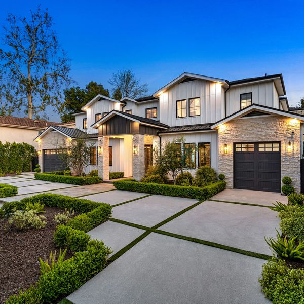
We gladly take over making showy and informative photos and videos about the property you intend to rent out or sell. We can create floor plans, site plans, or photomaps on demand.

If you need the digital twin of any real object, we can help you make your PC game or Visual Design more likable and realistic.
If you are stuck recreating product plans of an existing object or would like to make a 3D-printed copy of any of your things, we are your man.

Are you not sure what is the solution for your laser-scanned (LIDAR) data, Drone (UAV) data, or any 3D-related issues? We can figure out the best way for you.

Your partner in transforming your data into information.
FlatGeo is not just a collective of committed and passionate freelancers but a different point of view and a different way of thinking that respects professional traditions. However, we are brave enough to head toward our goals in newer and more exciting ways. We want to show you that your projects are in good hands with us and that you can get high-quality results without compromise.
I founded FlatGeo to ensure that I can help people and companies reach their goals in the most effective, reliable, and time- and money-efficient way. I wanted to use my knowledge and experience to serve the community and give back some of what I got from this country.
I have been working for about 10 years in the Surveying profession, mainly overseas but also in New Zealand. I have worked in Pointcloud pre-and post-processing, Drone(UAV) survey and processing, 3D modeling and visualization, road, railway, building construction, high-precision works, electrical network construction, planning, etc.
My desire for adventure has taken me to New Zealand, where, after roughly two years of wandering the maze of immigration processes, learning local habits and culture, and constantly being amazed by the country, I proudly serve this community with my knowledge and hard work so that we can create a brighter future together.
Countless changes run through the world constantly, and things are getting faster and more unpredictable. At FlatGeo, we believe that we travel together on a big spaceship called Earth, and we are all responsible for it and all of the creatures on its surface. This is why we believe in the 'Degrowth' Economics model, especially its essential aspect. We do not measure our success in money, how many projects we have, how big our office is, or how much reputation we have gathered. We determine our success by how much we can serve society with our expertise. We defined our involvement in three different areas.
Wasting money and time is technically a waste of resources, not just ours or our clients' but also the community's resources. We can do more incredible things with these. This is why we undertake to provide you the best solution to get your high-quality results in the most sustainable way.
With our knowledge, we can show and deliver the world in forms that are difficult to achieve for everybody, in areas where the opportunity to see the world's beauty is not self-evident. We are committed to educating new generations, and we stand for people living in difficult circumstances.
Less stress and difficulty mean a calmer and more convenient life. We work transparently on our tasks and share all information so you can better understand your project progress. This way, we do everything to avoid escalating stress among our community members, and everybody gets home with a smile on their face after a busy day.
Don't hesitate to contact us via email or on phone during business hours.
We will gladly meet you in person at an appointment that was initially discussed.
Open today | 09:00 am – 05:00 pm |
We use cookies to analyze website traffic and optimize your website experience. By accepting our use of cookies, your data will be aggregated with all other user data.